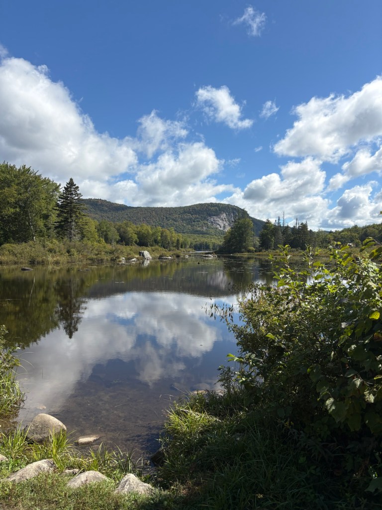
The Cross Vermont Trail continued to deliver mile after mile of bucolic splendor. I crossed paths with a bike packer heading the opposite direction at Marshfield Pond.
I wasn’t the slowest thing on the road.
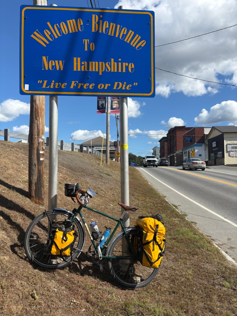
I crossed the bridge over the Connecticut River and I was in New Hampshire and on the Cross New Hampshire Adventure Trail (xnhat).
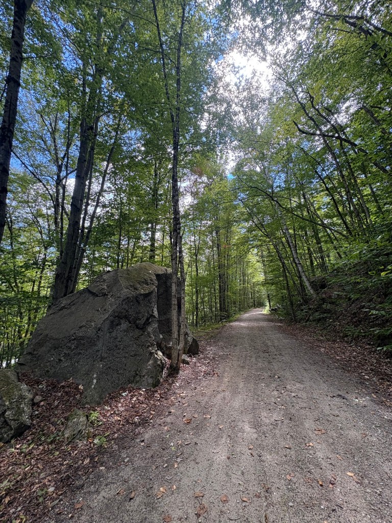
When I was researching the xnhat, while making my route, I should have been more thorough. I did read on the xnhat website, there were some sections that allowed ATVs. And they did state it was not a good trail for bikes with skinny tires, they recommend tires on bikes should be 32 millimeters or wider. But I discovered on the first section it was going to be rough going for me on a loaded touring bike with 38 millimeter tires trying to cover 50+ miles a day. The surface of the trail was a lot of loose gravel that made it more work to ride and to keep the bike under me. I assumed the ATV traffic, which was plentiful, was why the trail had so much loose gravel on top. The Cross Vermont Trail didn’t allow ATVs and didn’t have loose gravel like this.
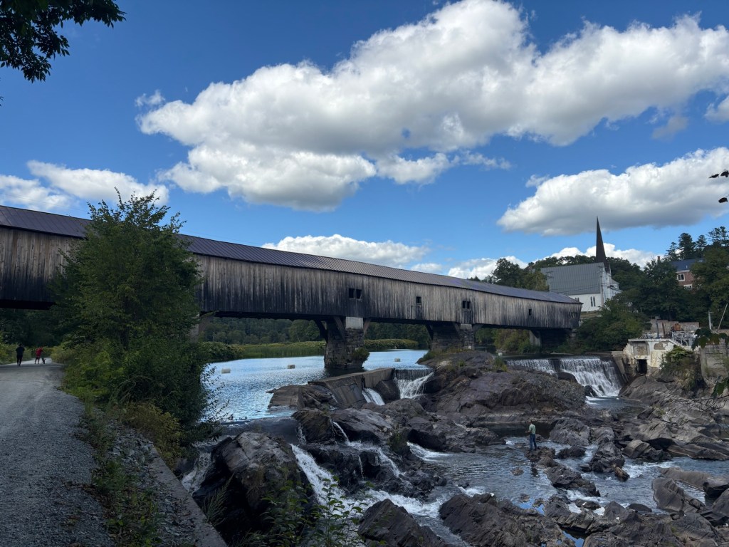
I was rewarded with a gorgeous view of the Historic Bath Covered Bridge, the longest in New Hampshire.

For some reason, there were a lot of these gates that had chunky gravel dumped at them. I guess maybe the ATVs would have created muddy spots so they thought this would be better? 

Eventually, I got tired of the trail conditions and sought an alternative route on the roads. Not sure it was a better choice.

My glass half empty afternoon was turning into an empty glass evening. I got to Littleton and decided to fill that glass at a brewery (Shilling Beer Co.). I was weighing my options for places to stay over pizza and a beer. The bartender and some wait staff were trying to come up with a place to recommend. I decided I was going to just ride out of town and camp along the Ammonoosuc River. I did get an offer from a young person while I was unlocking my bike. She had done some touring and used to live in town. Tonight she was back in town visiting friends and she asked them if I could camp in their yard. I should have said yes but I thanked her and headed out of town.
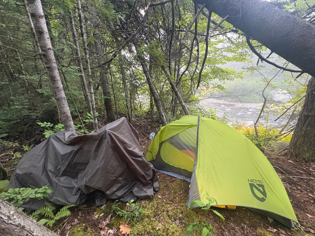
Just out of town, climbing a hill, my chain broke. The sun was setting and it would be dark in about 45 minutes. I dug out my repair kit and proceeded to replace the broken link with a quick link (always carry a quick link). When I was done, I scanned Google satellite view for where it might be possible for me to set up my tent. I was considering behind a church but it had a good number of houses close by and it was a newer church and I was worried that they might have security cameras. I saw there was what looked like an old railroad grade down by the river and decided to head for that figuring there would be some flat ground down by the river. There was but there were also a ton of trees. I managed to squeeze my tent in a space that really wasn’t big enough for it with a leaning spruce hanging over it. The sound of the river sang me off to sleep.

Leave a comment