Category: Uncategorized

  • North Gate Dam Campground, SD to 12 miles shy of Bonttineau, ND 86 miles

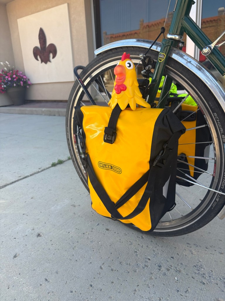
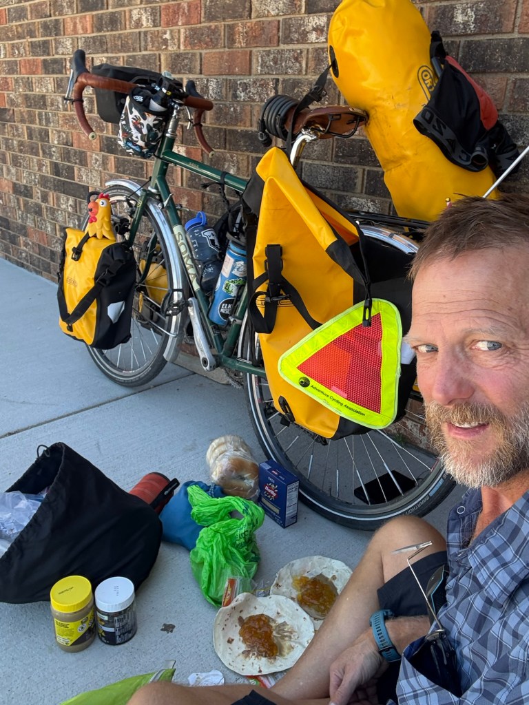
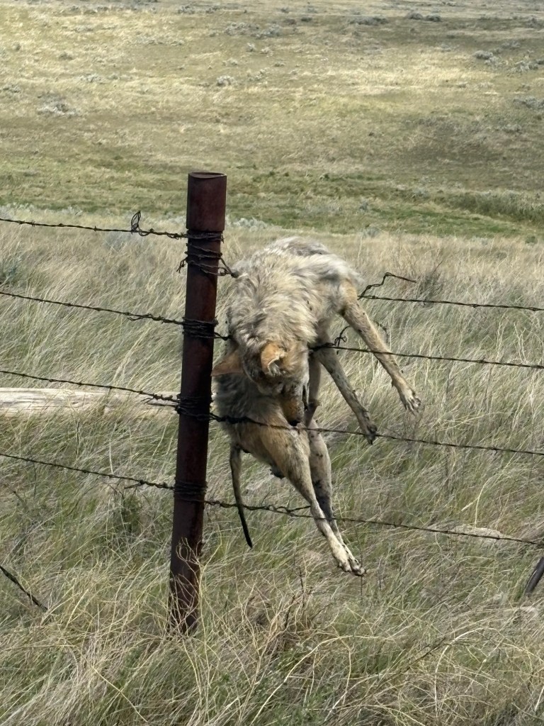
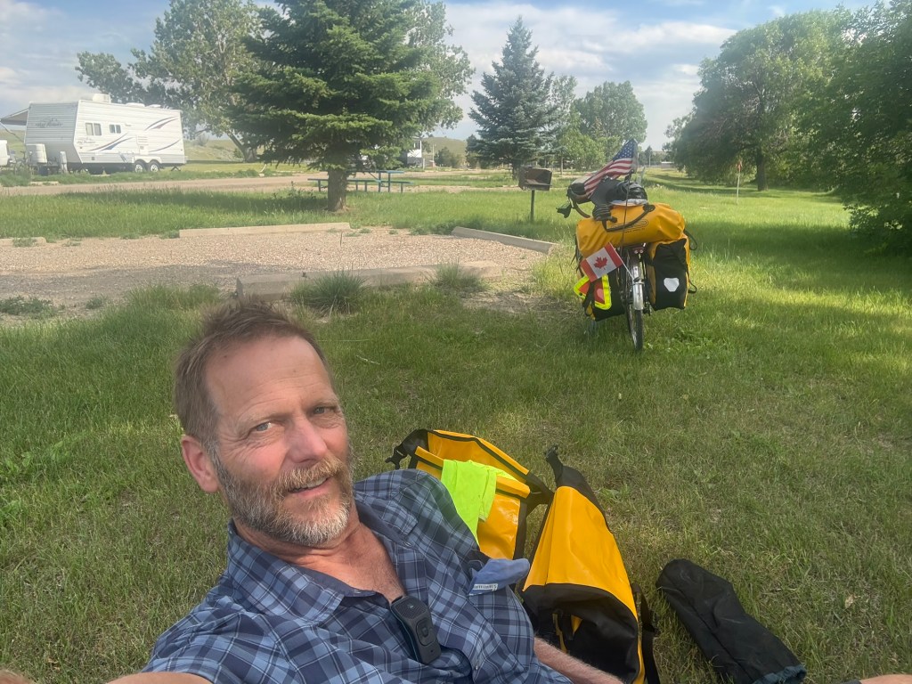
    I had arranged to stay with a Warmshowers host in Bottineau, ND but I would need to ride 98 miles into a head wind. I got an early start but I was out of water before too long (The campground didn’t have potable water and the lake water looked like it would clog my filter). I stopped at a convenience store to get water, coffee and a donut. I got a whole gallon of water and sat down in the store with my coffee and donut. Soon an older gentleman came in and sat down with his coffee next to me. We had a nice conversation about how his grandfather came to South Dakota from Poland and lived in a town of Norwegians and had to learn how to speak Norwegian. He also told me of how he had played piano for an internationally broadcast radio show called the Lutheran Hour.

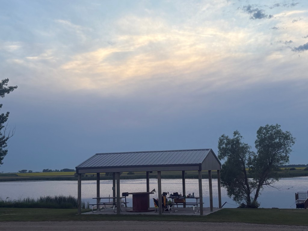
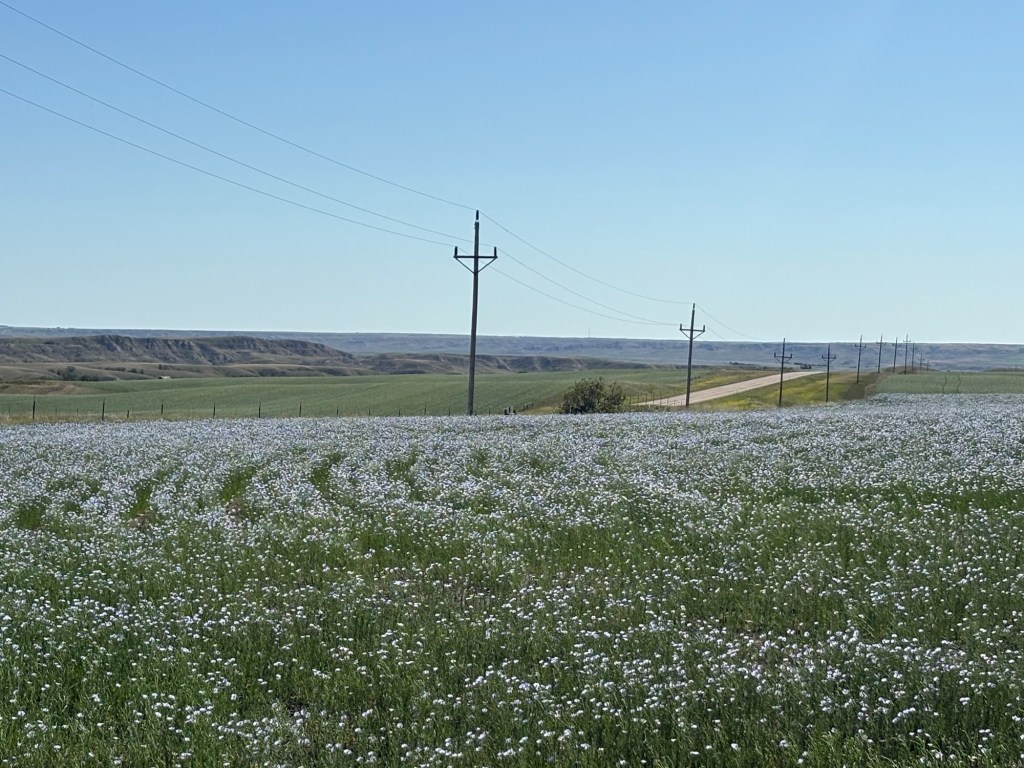
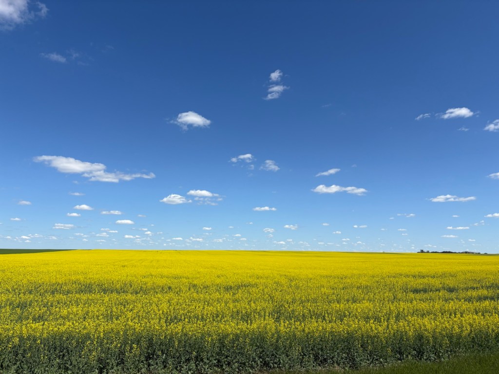
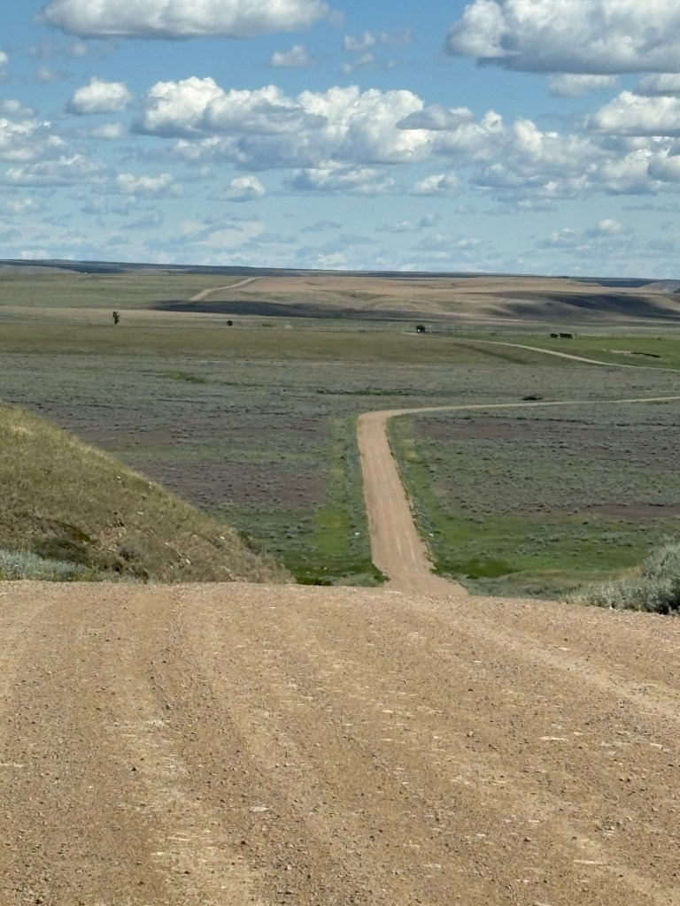
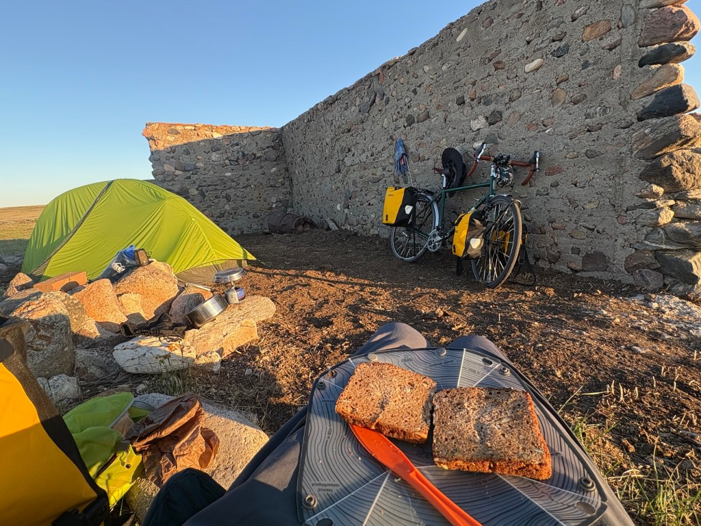
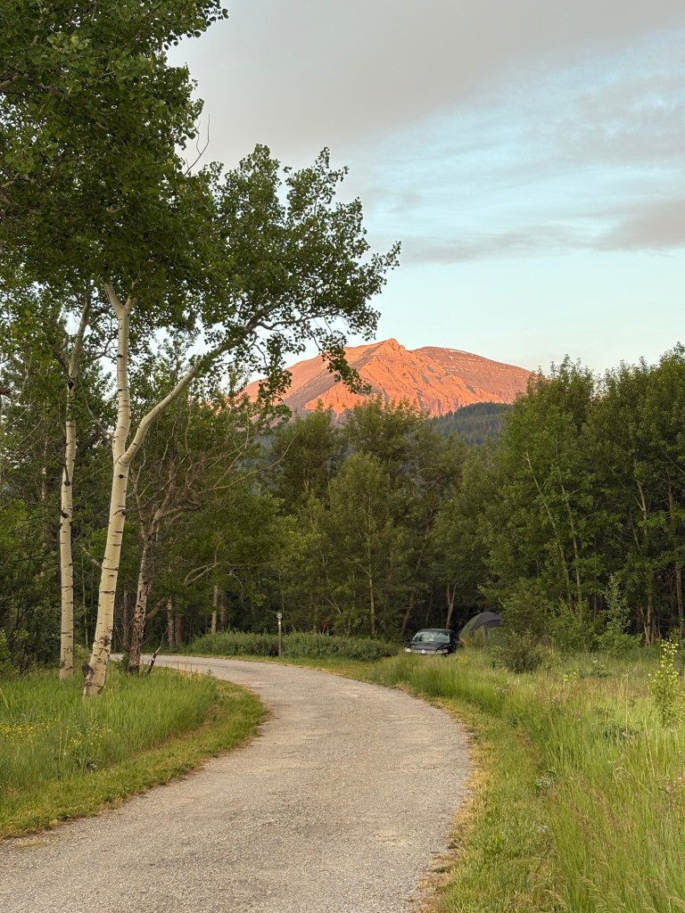
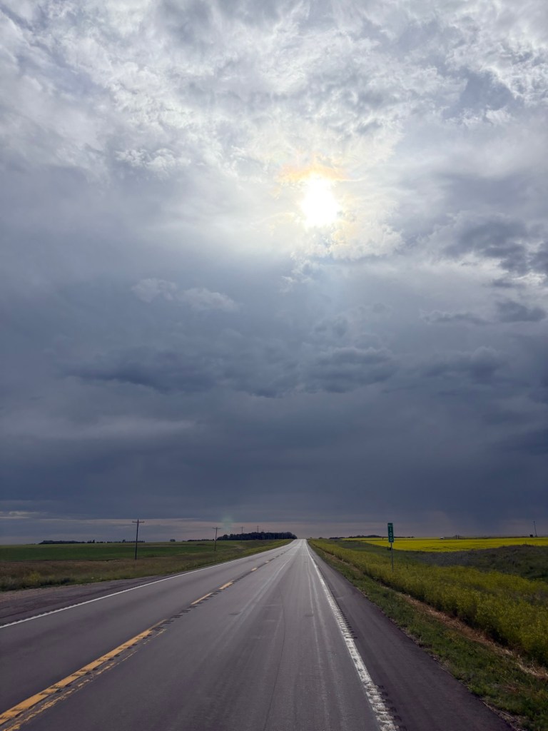
    The weather was a bit unsettled in the morning but made for a dramatic photo.

    Drama of the sky

    I valiantly battled the headwind for 86 miles. I had to update my Warmshowers host multiple times with later and later ETAs. He offered to pick me up if I wanted. I said no thanks and then he asked if I was one of those guys that had to ride every mile. I said maybe I am. But 8 miles of mulling his question over and running out of water again made me realize I was out here not to torture or endanger myself. I called him and asked if he could pick me up 12 miles out of town. I could hear my friend Greg sardonically saying “Weak”.

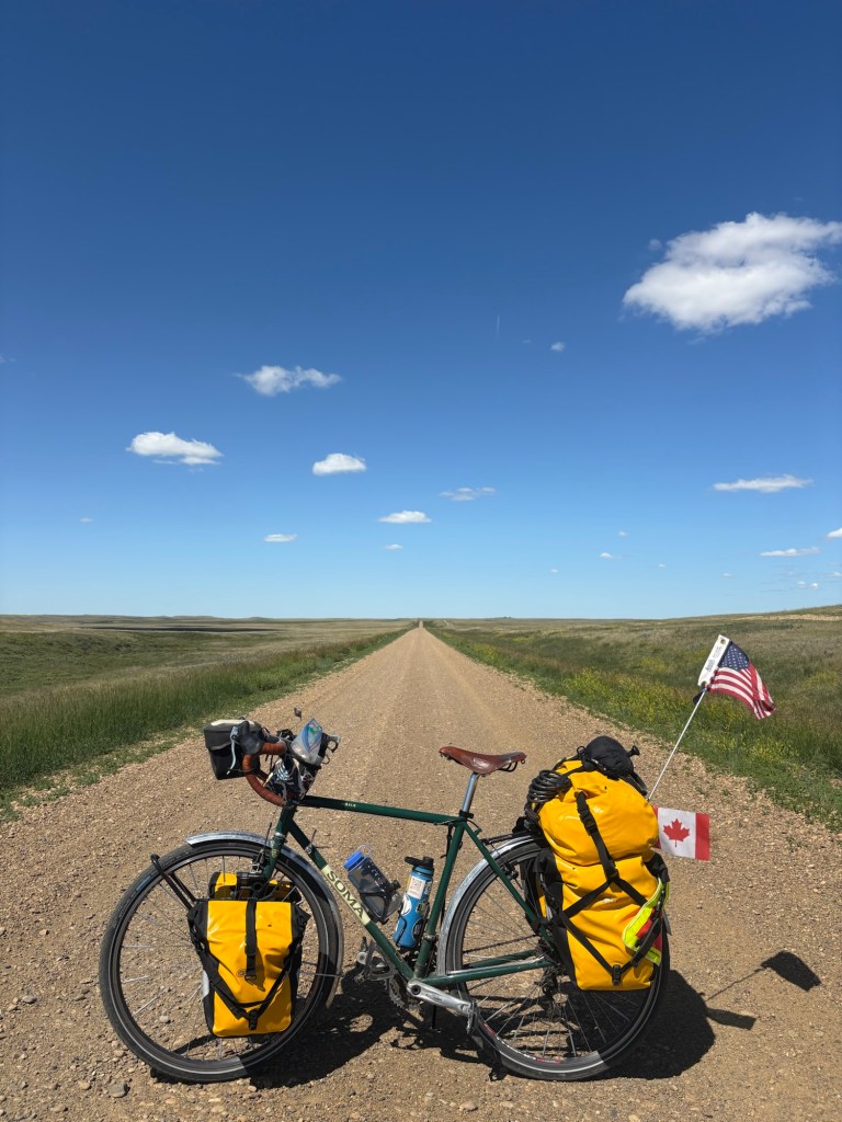
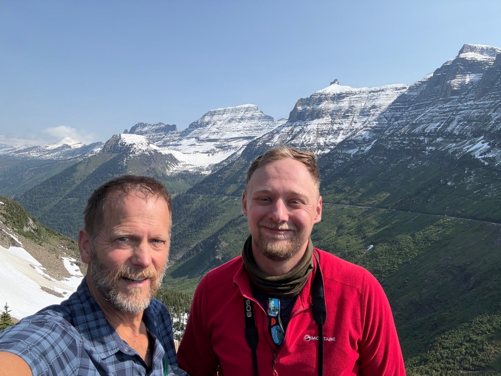
    Robert, my Warmshowers host, was kind enough to come and get me and my bike. And yes, I skipped those last 12 miles into Bottineau, North Dakota and don’t have plans to ever ride them. You can now call me out when I say I rode across the country, if you want to.

    Robert met his wife Stephanie while on a bike tour around America, he was her first Warmshowers guest and after he was done his tour, he returned to Bottineau to marry her.

    Stephanie and I bonded over our love of baking and her work in sustainable farming. I loved hearing about Robert’s ambitious and diverse history of bicycle touring and to eat the wonderful dinner he prepared and the wine he paired with it. Thanks Robert and Stephanie you are excellent Warmshowers hosts.

  • Fortuna, ND to North Gate Dam Campground 74.1 miles

    Today I discovered that wind speed in North Dakota means something different to the cycle tourist than in other areas. With nearly no trees and fairly flat terrain what would be a negligible head wind somewhere else was a serious obstacle to my forward progress. This had me out on the road for longer than I wanted to be and expending more energy than on other days when I covered more ground.

    Lots of these today
    I picked up a hitchhiker

    The only shade I could find to eat lunch in was on a sidewalk next to a building. Mexican PB&J on the menu today.

    Lunch

    I woke to the reality that in this area of North Dakota finding sources of water for someone traveling like me was pretty hard. There were stretches with no gas stations, restaurants or even houses. I had a water filter but all the water was in Prairie Potholes that had 30 yards of cattails around them that I would have to wade through to get to the water. I ran out of water towards the end of the day and got off the road into a small community. At the main intersection I was looking around for some place or someone I might be able to get water from when I saw a pickup truck coming towards me. I held up my water bottle while he pulled up to the stop sign. He was on his way to work, I believe he worked for US Customs at a border crossing. He said he would call his wife who was at their home down the road a block and she would bring some water out. He said just stop at the church (where they lived). When I got to the Church, their son came out with some water to fill my bottles. I was so thankful to find these nice folks when I needed help. Thank you!

    After 74 miles fighting the wind I was glad to see the campground.

    North Gate Dam Campground
  • Scobey, MT to Fortuna, SD 83.1 miles

    In the morning there was a field in the distance that looked like it was shimmering a light blue. I thought it might be flax in bloom because I had noticed I would be riding through the town of Flaxville today. Then eventually there was a field next to the road that was blue so I stopped, it was flax!

    Flax
    Road cut with a low humidity sky

    It took a long time to get across Montana, I guess I didn’t take the most direct route but it is a long state West to East.

    5th State!

    I hadn’t rode into North Dakota very far when a UPS driver pulled up next to me while I was riding and asked where I was headed we had a brief conversation and he wished me good luck.

    I was getting close to the town of Fortuna, North Dakota and was thinking that I wouldn’t mind ending my day there, so I looked on Google Maps at what my options might be and I saw a place called The Teacher’s Lounge. That sounded familiar and I realized I had read a book by David Goodrich called “A Voyage Across an Ancient Ocean” (about a bike tour predictably) and attended a speaking engagement about the book with my author friend, Greg.

    The town of Fortuna was the home of an Air Force radar Station from 1952 to 1984 that increased the population and stimulated the economy for those years but when the station was closed the population and economy took on a downward trajectory. The school no longer had enough kids to keep it open and was subsequently sold off to a local person who transformed it into a bar/hotel/connivence store/ RV campground. Gotta love creative adaptive use of old buildings. The bar is called “The Teacher’s Lounge” and the whole place is called “The Old School Center”

    I called the place from the last town before Fortuna and asked if they might be open to letting me camp there. I told them I would patronize them by having dinner and a beer and they let me camp for free! I enjoyed talking to the locals at the bar and not having to cook dinner.

    The Teacher’s Lounge
  • Theony, MT to Scobey, MT 73.4 miles

    Thirty more miles of gravel “shortcut” to ride today before getting back on pavement. The farther I went on these gravel roads, the more pocket gopher holes I had to dodge in the road. Yesterday I had seen a border patrol pick up truck go by and realized that I was probably on the last road south of the border. Today there was a bureau of land management pick up that stopped to ask where I was headed and to see if I needed water. I asked him what he was doing out on this isolated road. He explained that most of the land out here was bureau land management rangeland that was leased to ranchers and he was monitoring exclosures, areas that were fenced off from cattle to see how cattle grazing was affecting the rest of the land.

    The gravel stretches on.
    Side of the road sunflowers

    I found myself riding through herds of cattle multiple times a day on my short cut. Sometimes they were a good distance off the road and every head would slowly pivot as I rode by but they wouldn’t move. When they were closer or on the road they would move before I got very close. However, one herd wasn’t moving as I got closer and closer, I started making sure I wasn’t getting between any calves and their mothers while I was starting to go through them then I turned to the right and noticed that 75 feet off the road there was a bull! With no fence between him and me a pulse of adrenaline hit my bloodstream. But he just watched me go by and didn’t make a move. Not sure what I would have done if he had charged. If I could of gotten my hands on my bear spray, I may have tried to use it. I’m not sure if the spray would of slowed a charging bull. And it may have just made him more mad and punish me more, glad I didn’t have to find out.

    I rejoiced when I finally hit pavement in the tiny town of Opheim, MT. The highway I was on for the rest of the day to Scoby, MT was a delight hardly any traffic and I felt like I could fly now that I was on pavement.

    Scoby was a great little town. The Lions Club had a campground right in town and let me stay there for free (I did make a donation). The Daniels County Sheriff’s office was very helpful in orienting me to the services in town. I went to the laundromat to do my laundry and the change machine said “out of order” by then most of the businesses in town were closed and there was a phone number on the wall to call for assistance. The guy who picked up listened to me explain my situation and said “Well you are in a tight spot”. Then he said he was in another part of the building and would be there momentarily to help me.

    That’s how I met Burley Bowler, the editor of the Daniel’s County Leader newspaper. The laundromat was in the back of the Newspaper building, he gave me some change and asked me some questions about my tour. He and his wife were working on the layout of this week’s edition but he took the time to take a picture of me posing by my bike and we sat down for an interview for an article about my tour. Then while my load of laundry was in the washing machine, I went across town for a swim in the public pool. When I came back, I pushed my laundry into the dryer and Burley invited me to have a beer with him in another part of the building. I enjoyed hanging out with him. Being the 3rd generation editor of the Daniels County Leader, he knew an amazing amount about the community and its history. He told me about his grandfather’s Newspaper building being fire bombed by the communist paper in the Neighboring town of Plentywood.

    Scobey had a comfortable home town feel that I enjoyed.

  • Sleeping Buffalo Hot Springs Resort, MT to Theony, MT 52.6 miles

    This post is going to have an inordinate number of photos, just warning.

    So the day finally came that I was starting the 80 mile stretch of gravel I had routed myself onto a long, long time ago in a galaxy far, far away. I had researched and perseverated over this part of my route for a long time. I had contacted the adventure cycling association about this stretch, called a nearby town and used the satellite view on Google maps for all it’s worth trying to not be “that guy”, that guy that ends up in the papers for his stupidity. Even though I was carrying a water filter, I packed two gallons of water. I also did some research into riding open cattle range because I was told to expect to ride through some herds of cattle.

    It didn’t take more than a mile or two and I was seeing cattle near and on the road. I had read you should ride slow and try not to get between a cow and her calf and of course look out for bulls. But what was the likelihood of that…

    The cattle always looked up to see this strange thing (me) coming by. I like to think they talked about it for days.
    Gravel stretching to the horizon.
    At least this section meandered some on the way to the horizon.
    The milk weed grew a little more compact in this arid place.
    The roads were in good shape and the clouds were on point.

    There were ranches set way back from the road, at this one I noticed the sign by the road for the ranches also had their cattle brands on it. And the package basket below the sign had something metal in it I’m guessing for the mailman to bang on the metal post and let them know they got a package? 

    Ranch mail boxes

    There were a few cars on the road this day, two stopped to talk. The first was a gentleman who I asked about the condition of the roads I was taking. He seemed to think I could get through.

    The second one was a woman who pulled up next to me and was curious about where I was going. I think she was a little surprised that someone riding a bicycle across the country would choose to ride it up her road. She also seemed to think that I could make it through on the roads I was planning to take. She was rattling off the few landmarks along the way and said that I would pass the Arnold Farm. She said they were organic farmers but good Christians. I guess if you are an organic farmer in these parts you are suspect, unless you are a good Christian? She also told me that the town on the map called Theony was a ghost town and might be a good place to camp. Then she asked me if I had protection. If I was quicker thinking, I would’ve said something witty like “It’s been a long time since a woman has asked me that question” but instead I said what do I need protection from? People or animals? She said there had been a wolf spotted in the area I was going through. I told her I had bear spray and she seemed to think that was enough “protection”.

    Intrepid, adventurer or fool, you decide. 
    There was a little green bee having a field day in this cactus blossom.
    So much sky.
    I came across this old school, I don’t think it is still used.
    It was hard to believe what I was seeing when I saw this.
    Camping at Theony ruins eating the last of the great whole grain Rye Bread I bought at Grist bakery in Missoula.
  • Day 33 Shelby, MT to Sleeping Buffalo hot springs resort. 109.9 miles

    Yup, you guessed it, the sprinklers came on at 4:15 and hit my tent, my bike and me (when I got out of the tent). There were 3 sprinkler heads that could reach where my tent was set up! First I tried to grab my bike and move it, but it was locked to the picnic table. I didn’t have a headlamp so I was dependent on my early morning eyes seeing the combination lock underneath the picnic table. Somehow, I was lucky enough to get it open and rolled my bike to the main playground that wasn’t getting irrigated. I ran back and pulled all the tent, steaks and drug my tent with everything in it over to the playground. I decided that I should just pack up and leave instead of trying to set the tent up and get more sleep. But I didn’t get packed up before The sprinklers came on at the playground and started spraying me again. I started to think I must be on a reality TV show and looked for some cameras, but there were none.

    On the way out of town this little bakery was just putting out their sign and I decided Carl deserved a treat. After I picked out what I wanted they said it was on the house. Road magic is so nice, thanks Bergy’s!

    Nice folks

    I’ve been enjoying seeing all the graffiti on the train cars. There’s some serious talent out there. 

    I’ve been seeing a lot of sunflowers on the side of the road. I don’t know if they are escaped from farmers Fields or if they could be a native variety but they have a lot of charm.

    I stopped in Harlem, Montana picked up a few things at the grocery store plugged in my phone and battery to a outlet out front and proceeded to sit on the pavement and eat lunch. I’m sure I was quite a spectacle. There were a few kind folks that came through and asked me Where I was headed. One set a prayer for me and another asked if she could buy me a drink.

    Apparently, Harlem has a little problem with meth.

    This sign made me think of my friend Stu Cawley. I was pretty sure he had written the text for the sign. But it would’ve been in a much cooler font if he had made the sign. 

    Apparently, RadioShack is still alive! This is the second one I’ve seen on my trip. This was in Malta, Montana. I ate a nice lunch at a pizza shop and stopped by the county sheriff’s office to ask about my plan to ride 80 miles of gravel roads the next couple days. I talked to Deputy Jordan, who was very helpful. He gave me suggestions of safety precautions, most of which I had already acted on. And he gave me his duty phone number. I told him I would let him know when I was through that remote section of gravel. 

     at the end of the day I came to sleeping Buffalo rock. Apparently it used to sit on a bluff, looking like a lone buffalo and Native Americans had carved petroglyphs on it.  now it sits in a little three sided shelter on the side of the road. People stop and leave offerings to it. I saw Sage and tobacco offerings. I didn’t have much to offer, but I did offer some water. 

    Sleeping Buffalo

    I had decided I should live it up before my 80 miles of gravel roads and sprung to camp at sleeping Buffalo Hot Springs resort. I set up camp and went in the Hot Springs. It felt marvelous. 

    Sleeping buffalo Hot Springs resort 
  • Day 32, Shelby, MT to Harve, MT 105.2 miles!

    Wow, I have not been a good blogger, somehow I am way behind! *****Spoiler Alert!*****. I am in Wisconsin now but let’s go two states back. I’ll try to get caught up over the next week or two.

    Tailwind was the word of the day. It pushed me down Route 2 all day. I have never ridden over 100 miles in a day on a bike, and this was a loaded touring bike. Some of the slight downhills I pushed the envelope and got over 30mph and the slight uphills felt like they were downhills.

    The Sweet Grass Hills to the North

    In Ruyard, MT there was a tiny diner called the Sugar Shack. Maybe I needed a milkshake…

    While having my milkshake I met two local women eating and playing pinochle. We talked for a bit and one said she lived in Gildford, the town I had been planning on spending the night in. She said touring cyclists were welcome to stay in their town park for free. I arrived in Gildford shortly after lunch and looked at the park and town. It was a cute town and you could see the community spirit in the town park. It would have been a wonderful place to stay but because the tail wind was still blowing and it was still pretty early, I chose to set sail to Harve.

    The Sugar Shack

    As I neared Harve, there was a storm to the South and I wasn’t sure if I would beat it to Harve. I didn’t. It had just started raining when I was on the outskirts and I saw a man in his open garage so I turned in his driveway and asked if I might wait the storm out under the cover of his garage. He was kind and said yes. He worked for the railroad as a yard boss and answered some of my burning questions about the railroad and in 5 minutes the storm had passed.

    Bear Paw Mountains with impending storm

    I rode into the town of Harve and asked (the sheriff’s office) about camping in the town park. They said I could but couldn’t tell me what time the irrigation came on or if there was anywhere in the park that wasn’t irrigated. I went to the park and asked some folks if they had any answers to those questions. A woman said she thought they wouldn’t irrigated the playground because it was all gravel and no plants. And she said there used to be a merry go round that they took out next to the playground. It looked like a big gravel tent pad so I crossed my fingers and set up my tent. You see where this is going, right?

  • Day 31 Del Bonita Border Crossing to Shelby, MT 65.8 miles

    Somehow I didn’t take many photos this day.

    First thing I saw when I unzipped the tent.

    The roads to Cut Bank, Montana were sublime hardly any traffic on them until I was just a couple miles from town. I did notice a pulse of vehicles go by that would reach the border crossing between 8:45 (border patrol) and 9:00 (folks wanting to be the first to cross that day).

    When I got to Cut Bank, I was ready for a cup of coffee and a treat. But I also needed to charge my back up battery since it hadn’t been plugged in for two nights. I thought I found a coffee shop I would hang out in while my battery charged. But it turned out It was just a drive-through stand. There are a lot of those in the areas I’ve been riding through. The kind lady who made me my coffee and heated up my muffin top suggested I might go to the public library. She’d be better at Bike touring than I am, I had heard people talk about libraries being a great place to use the Wi-Fi and charge your devices, but that nugget of knowledge was filed away somewhere obscure. I went to the public library and I asked if I could charge my devices while I was drinking my coffee and eating outside, but the librarian said come on in, you can eat and drink your coffee as long as it’s not in front of a computer. They also had bathrooms and a water fountain where I could fill my water bottles. Like an oasis in the desert.

    When I made it to Shelby, I went to Pizza Hut to celebrate and ate entirely too much pizza. I had to do a little bit of hunting around to find camping in Shelby I ended up paying for a campground. Boo! It’s not so bad when it’s a hiker biker campsite rate but this was in the $30-$40 range. Got to manage the budget.

    Lake Sheloole campground

    There were benefits though, I met Cameron and Juliana, a couple from Calgary out for an adventure in their RV trailer with their cat cattachino. They were wonderfully kind and invited me over for a beer and snacks. I found myself feeling gratitude to strangers again, thanks guys.

  • Day 30, Belly River Campground to Del Bonita Border Crossing

    I forgot to mention anything about where I camped yesterday, day 29. When I arrived at Belly River Campground in Waterton lakes National Park, I found the campground was beautiful but didn’t have potable water. Lucky for me, I was camping next to a mother and daughter who had some water that could spare. Thanks to them I didn’t have to find out the hard way if my water filter filters out the parasite that causes whirling disease in fish.

    In the morning the sunrise lit up the mountains and I was off shortly afterwards.

    When I was coming out of a convenience store, I saw two bicycle tourists. We had a good time, talking and trading information about our journeys. And since we were going in opposite directions, we could answer some questions about the road ahead for each of us. Ross had ridden from North Dakota and I think he said he was going to the Pacific. Stephen had started in New York and was heading toward Washington state.

    Ross and Stephen.

    I was heading to the Del Bonita border Crossing, it closes at 5 PM and I was pushing myself to make it in time. I arrived at 4:45. The border guard was very kind and gave me a couple bottles of water and some camping recommendations. He said that no one would be coming up the road to the border till 9 AM when it opens and thought I would be OK just to camp alongside the road.

    I always wanted to say I have slept in a ditch on the side of the road, now I can. 

  • Day 29, Apgar Campground, Glacier NP to Belly River Campground, Waterton Lakes National Park, Alberta, Canada 78.9 miles

    I got up at 4:00 am to get all packed up and we got on the road shortly after 6:00. Patrick was kind enough to let this old man, who doesn’t tour lite, to draft off of him. I don’t do much drafting usually, a lot of the time I ride by myself or don’t trust my skill level to ride that closely when riding with others. But in this case, I was drafting with the best of them. I noticed that on the uphills, if I could stay close enough that climbing was easier on the mild grade of the road but on the downhills (not long and not many) that I was actually having to break because between the drafting and the extra weight of my bike, I was going to run into him if I didn’t. It was fun and it definitely got me up the lower, flatter part of the climb faster than I would have done it on my own.

    The lower parts of the road have great beauty
    Patrick slayed
    This waterfall was stellar
    And by the time we got towards the upper parts the clouds dissipated
    This waterfall ran under a small snowfield
    It must take a lot of work to keep up on the maintenance of this road

    On this picture, I almost (unintentionally) lined up the road cut with Patrick’s ears, like someone old drive right through.

    We conquered Logan pass!
    One of Glacier’s Icons

    After a fun and very long decent we arrived at St. Mary on the other side of the park. Patrick and I needed to go different directions from here so we had lunch together in the St. Mary Lodge before saying goodbye.

    Heading North towards the boarder, I had the feeling I was being watched.

    Godzilla looking over the hill
    One of these things is not like the other…
    Stop hiding.
    There you are! Chief Mountain

    Chief Mountain is so impressive! I would be riding for days and still seeing it.

    The Chief Mountain customs port. I would rate it 5 stars
    Ah State are overrated, I’m into Providences now.